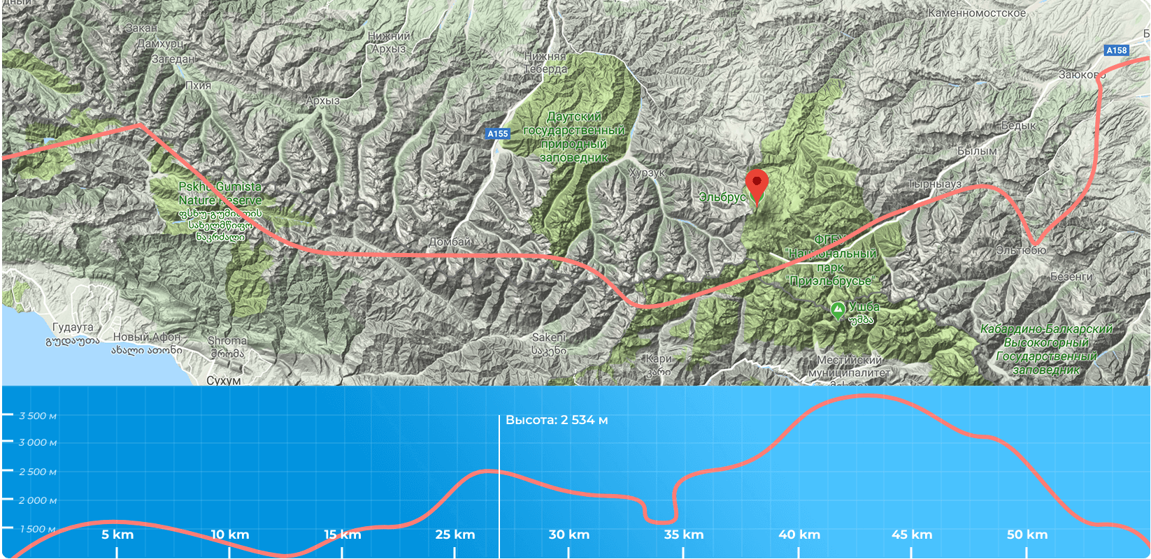
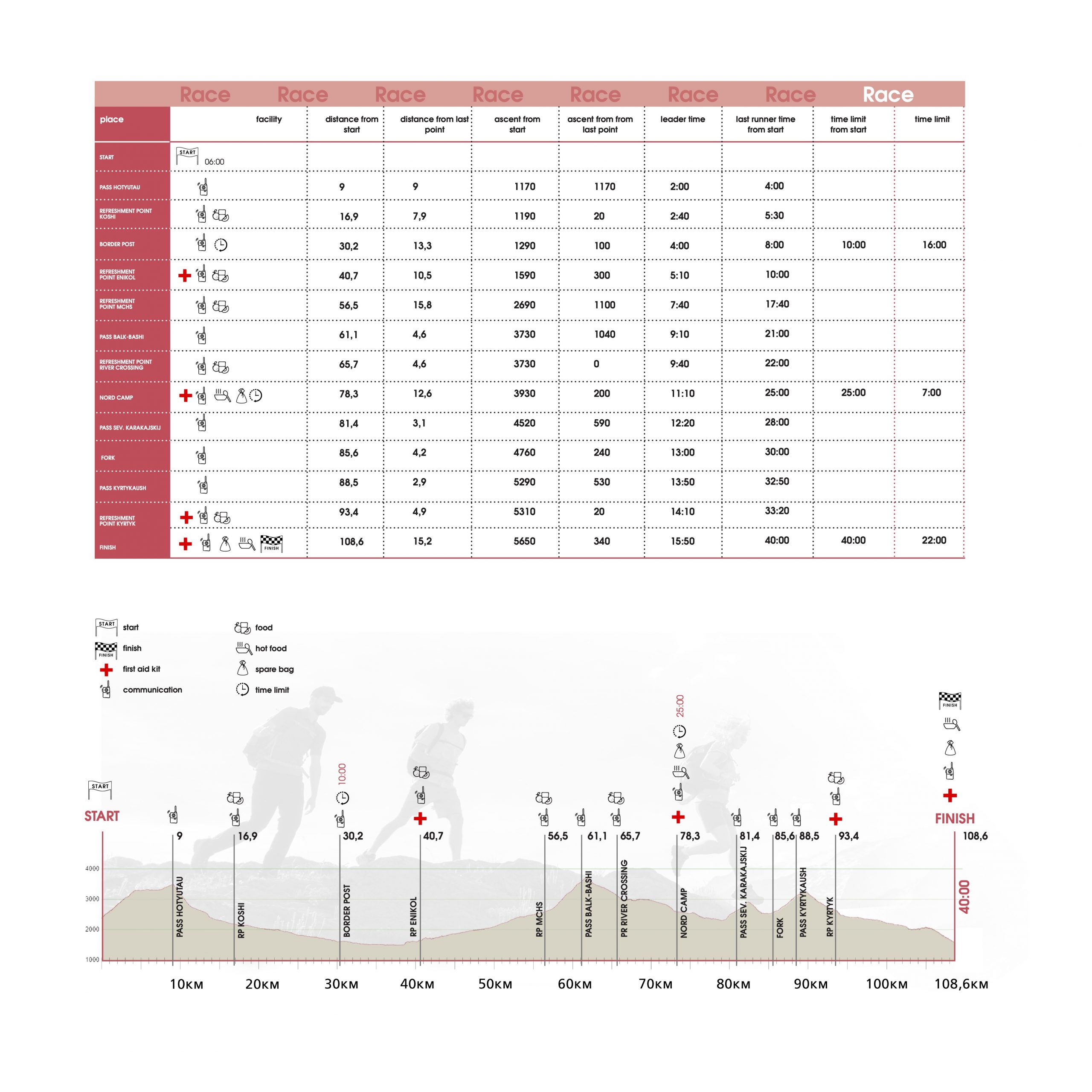
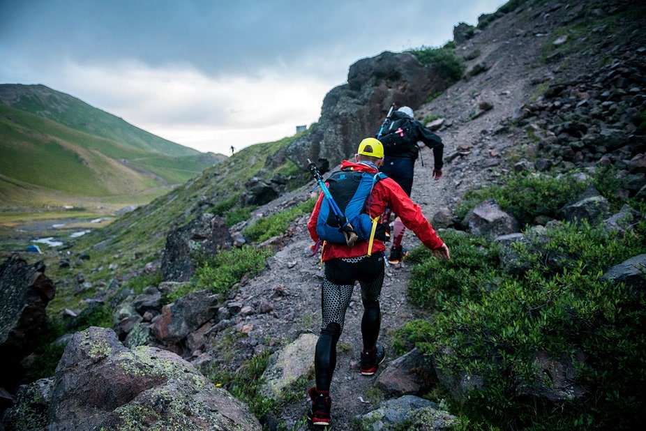
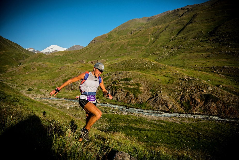
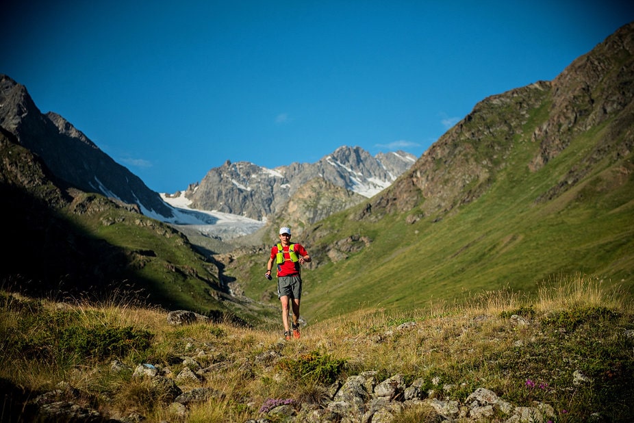
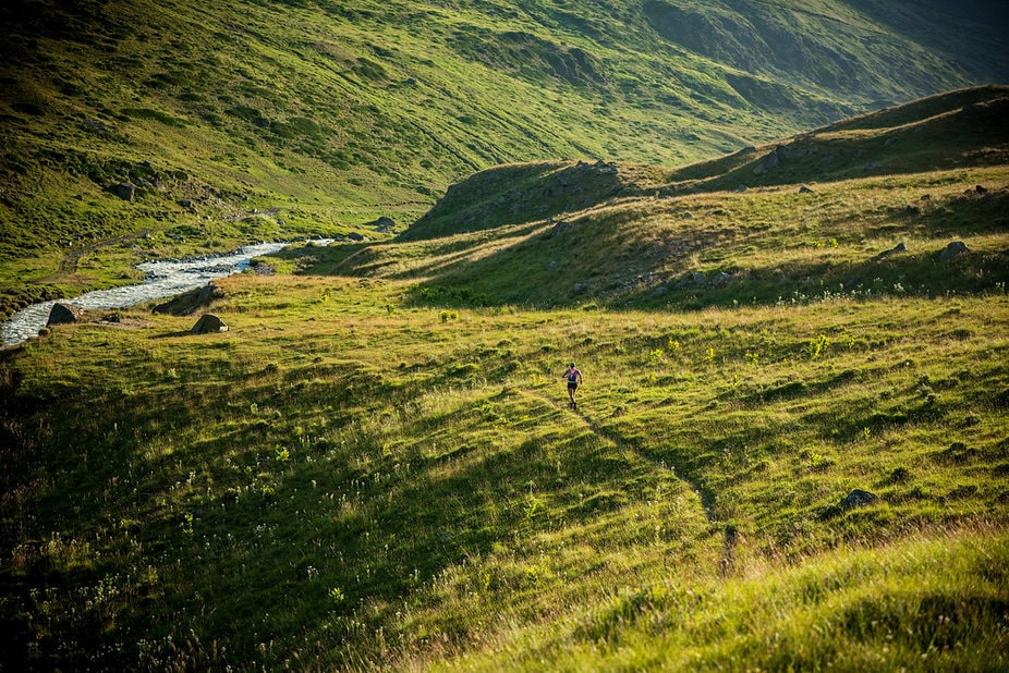
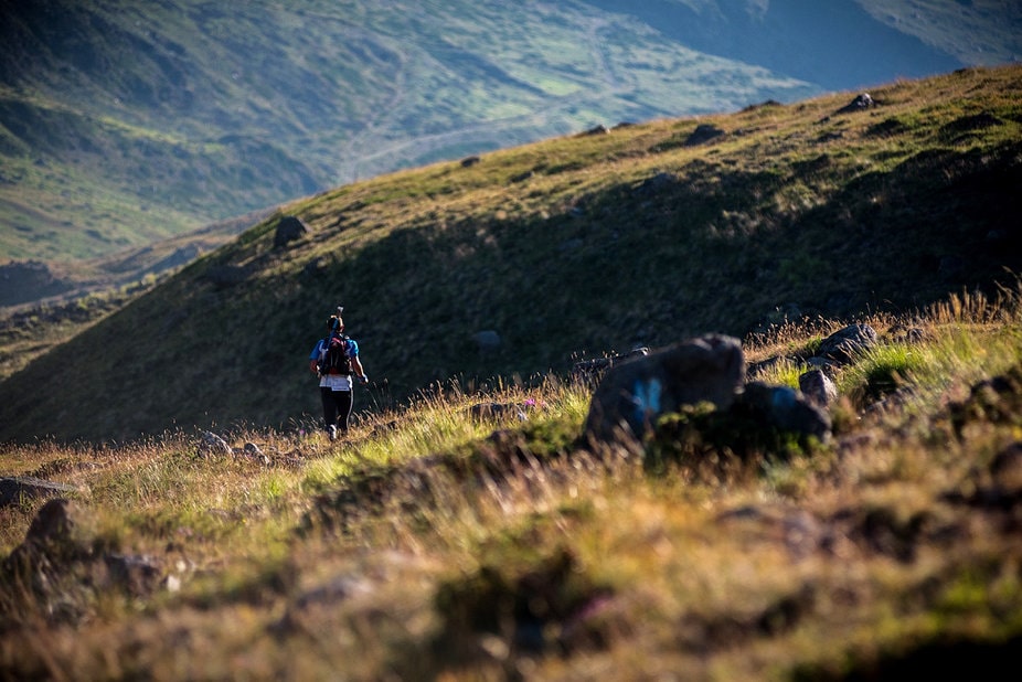
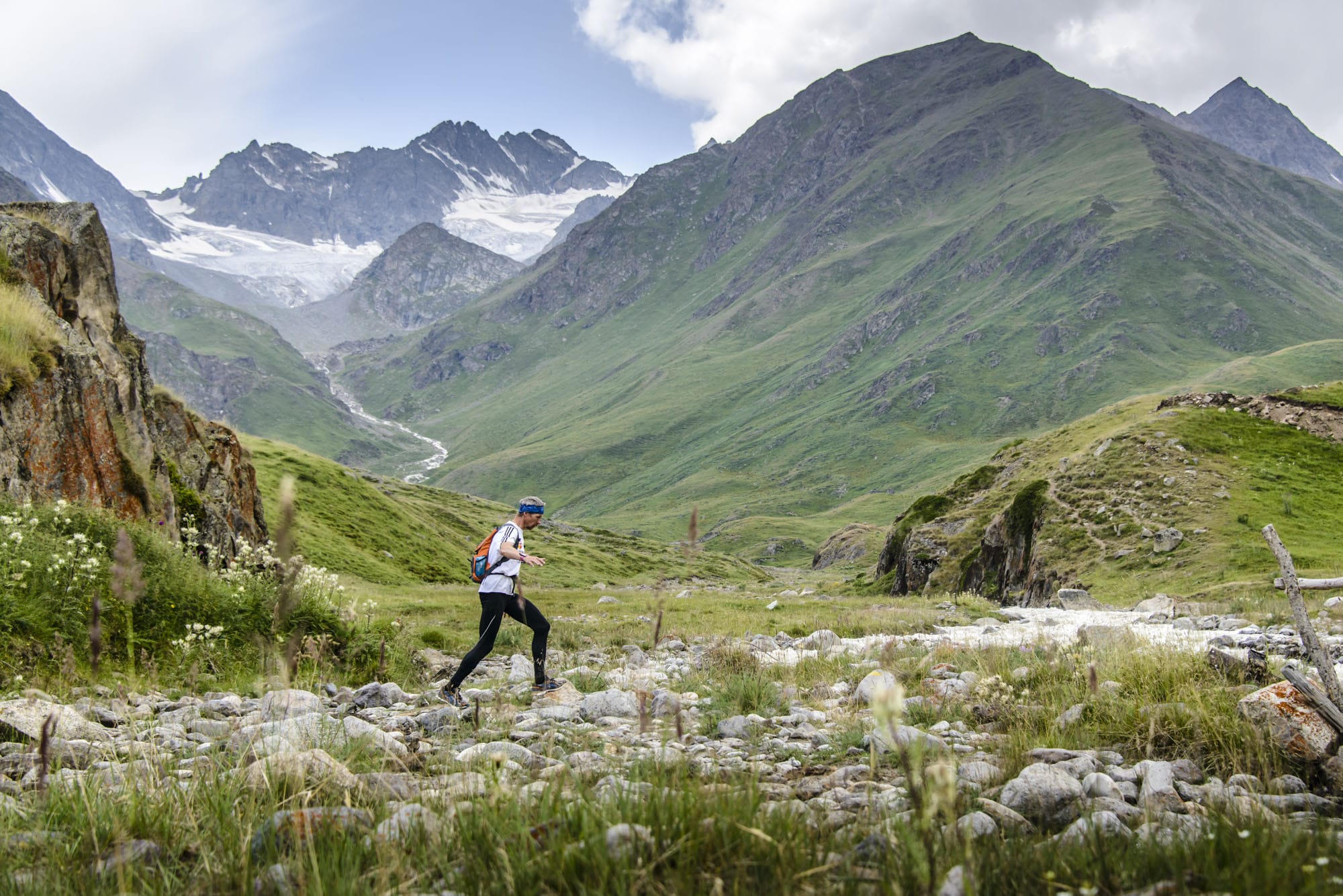
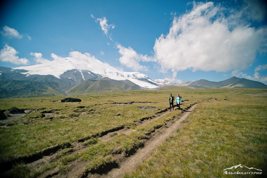
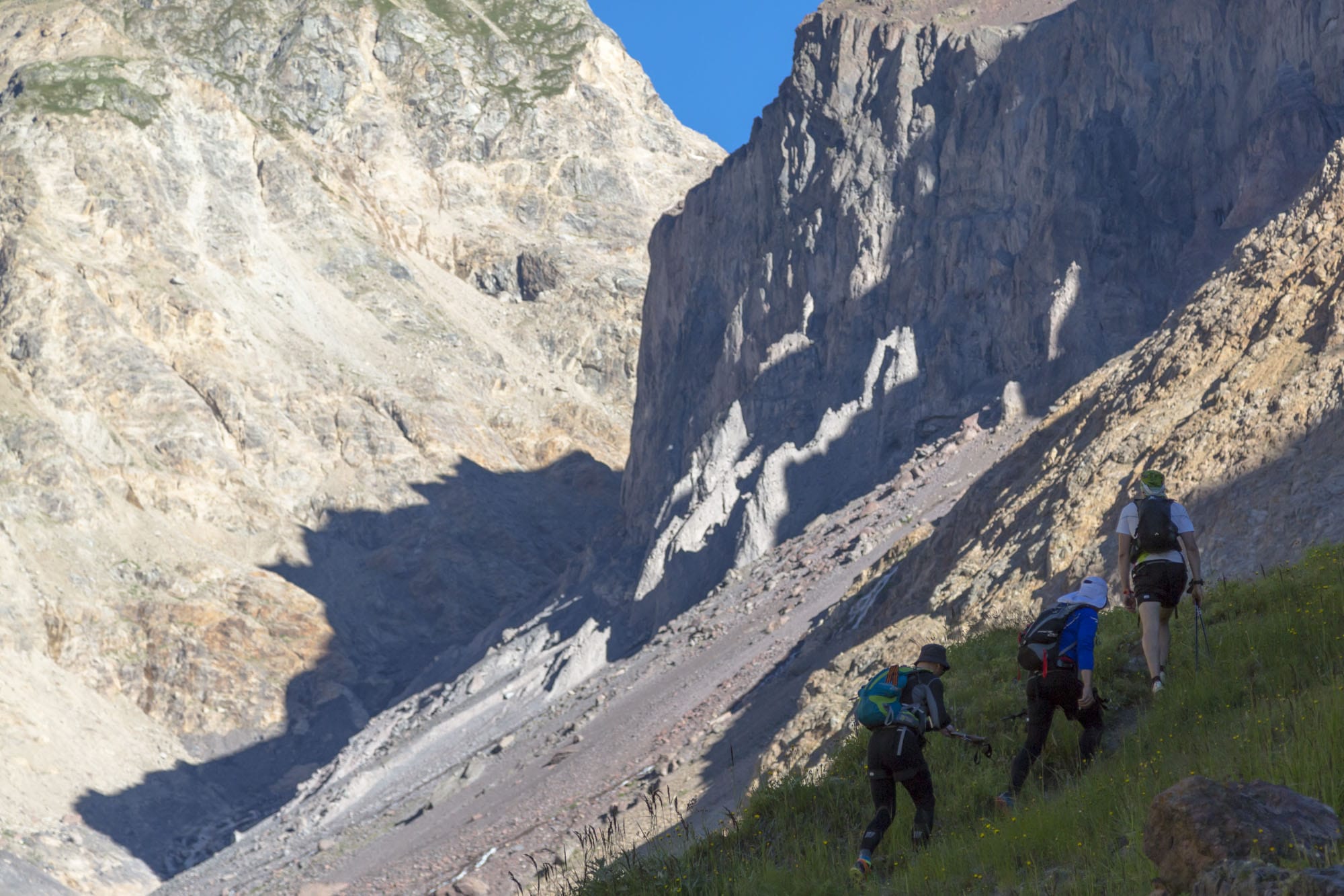
From the start line, the road goes up to the Old Krugozor Station. Another 500m uphill and the way markers point to the left onto the trail that will take you (in 4,5 km) to the lake. The trail ends here and the only guidance for you now is way markers, which lead you to the glacier (difficult part of the route). Move along the glacier up to the pass. It is important to strictly follow the way markers leading you around the cracks. A few kilometers after the pass, the trail becomes more visible. For the next 4,5 kilometers from the pass to the valley of the Kuban River, will be a main drop in altitude from 3550m to 2350m. From the river, another 3 kilometers down the trail and you get to the Koshi Check point. After the Check point run along the trail for the next 13 km to the border outpost. Here is the second 10 minutes mandatory stop for documents checking. The participants are obliged to stay at the boarder outpost for 10 minutes, even if they were done with the document verification sooner. In case, for some reason a participant is delayed (and it isn’t the participant’s fault) and has to stay extra minutes at the border outpost, the total time will be adjusted after the finishing line. The time barrier for leaving the boarder post is 16:00
After the border outpost take the grader road to Khurzuk village. The road runs along an open area, it might be very hot when its sunny. Before the village follow the way markers to the right. Go up 300-400meters using mostly animals\cattle trails to a small plateau above the village of Khurzuk, where you find a dirt road going right and down to the Ullu-Khurzuk river. Another 1,5 km and you reach Unikol Check Point. At this point you start gain elevation. For the next 18,5 kilometers you ascend from 1500m to 2650meters. The dirt road ends and you reach MchS Check Point (the MchS Station is no longer exists, but our volunteers will be waiting for you there). After the Check Point there is another 5 km ascend to the Balk-Bashi pass (3700m), which is the highest point of the race. The total elevation gain is 1150m. From here, you start a descend along a trail, which becomes barely discernible. In 4,5 km the way markers will take to the river crossing. Depending on the time of the day and weather conditions, the river might be knee or waist deep. The crossing is equipped with rope railings. You can be provided with harness and other climbing equipped, if necessary.
After the crossing, you continue your descend for 2 km along moraine ridges until the way markers take you to a road down to another but more easy crossing and a camp site. Run through the camp site to the bridge and descend along a dirt road to Narzan valley Jili-Su. Another 2 km along asphalt road and around 78th km near the Elbrus hut, turn right.
North Camp Check Point is located here with hot meals and participants drop-off. The time barrier for leaving this check point is 7:00.
After the Check point you start a climb up along the animals\cattle trails among pastures to the North Karakaysky Pass. The total elevation gain is 700 meters. After the pass there is a descent, turning into a traverse, along a good running trail to the start of the ascent to the Kirtykaush pass. There is a road fork at the 85,5th kilometer of the route, where you need to stay closer to the left, on the right goes the EWR route. The last kilometer of the ascend to the pass goes through rough stony terrain.
After 1,5 km descend from the Kirtykaush pass, the Race joins the Suarykaush 44 race. Here you come out to a trail that turns in to a good serpentine road that will lead you to the Kyrtyk Check Point. After Kyrtyk Check Point it is another 15,2 km down to the finish line. On your way down, streams can be found and water supplies can be replenished. For the first 11,5 km of the descend on the dirt rode the elevation drop is 450 meters and another 400 meters in 2,5 km. At this point you will reach a small town. It is another kilometer on the asphalt road till the finish line.


